
Fort Worth ZIP Code Coverage Groups
Fort Worth-associated postal ranges are research groups, not city-limit polygons. The table collects the ranges observed in USPS and government materials. Its area wording is a search cue only. USPS did not provide a stable, neighborhood-by-neighborhood Fort Worth station list in the inspected materials, so no station names are guessed here. An exact-address lookup remains the only reliable way to determine the current post-office label and delivery type.
| ZIP | Areas or search context | Post office or label | Record-use note |
|---|---|---|---|
| 76101–76104 | Downtown and central business or large-user context | Fort Worth routing group; exact station not identified | Verify the precise address and delivery type. |
| 76105–76110 | South-central and east-central search area | Fort Worth routing group; exact station not identified | A mail route is not a neighborhood boundary. |
| 76111, 76114–76116 | Northside, west-central and south address searches | Fort Worth DMM label examples | Several ZIPs can share a routing label. |
| 76112–76113 | Core Fort Worth mailing-city range | Exact station not identified in inspected sources | Confirm the postal route and parcel city for the address. |
| 76117–76120 | Northeast, east and regional routing context | Fort Worth routing group; exact station not identified | Some routes extend into adjacent areas. |
| 76121–76124 | Central, west and special-routing range | Fort Worth DMM label examples | Check the USPS city label and GIS separately. |
| 76126–76127 | Western and southwestern Fort Worth-associated area | Fort Worth 76126/76114 routing examples | Verify the municipality on the western edge. |
| 76131–76137 | North Fort Worth and Alliance growth area | Fort Worth 76126/76133/76137 routing examples | Do not infer a neighborhood from a ZIP. |
| 76140, 76147–76148, 76155 | South/east, north/east, airport and large-user context | Fort Worth routing group; exact station not identified | Postal label does not settle city limits. |
| 76161–76164 | Post-office, routing, and northern or western context | Fort Worth routing group; exact station not identified | Use AIS and DMM details for the address. |
| 76177–76179 | North Fort Worth and Alliance-associated range | Fort Worth-associated label | Confirm every street address in USPS tools. |
| 76180–76182 | Northern Tarrant range | North Richland Hills 76180 DMM example | Not Fort Worth proper merely because it is in Tarrant County. |
| 76185, 76193, 76199 | Special, large-user, institutional, or routing entries | Special or large-user route; exact station not identified | Do not treat as ordinary residential areas. |
Start with range recognition and end with address confirmation. A route may be useful for narrowing a search, but it never replaces a parcel city field or boundary layer.
Check a Fort Worth ZIP Code Exactly
Use the USPS exact-address tool before attaching a ZIP to a Fort Worth record. The search should use the street address as USPS recognizes it, including the direction, suffix, unit, or delivery detail where applicable. The response can establish the current ZIP, city/state label, and delivery context for that address. It is more authoritative than a historical advertisement, a directory heading, or a broad web map.
The USPS ZIP Code Lookup is the direct starting point for that confirmation.
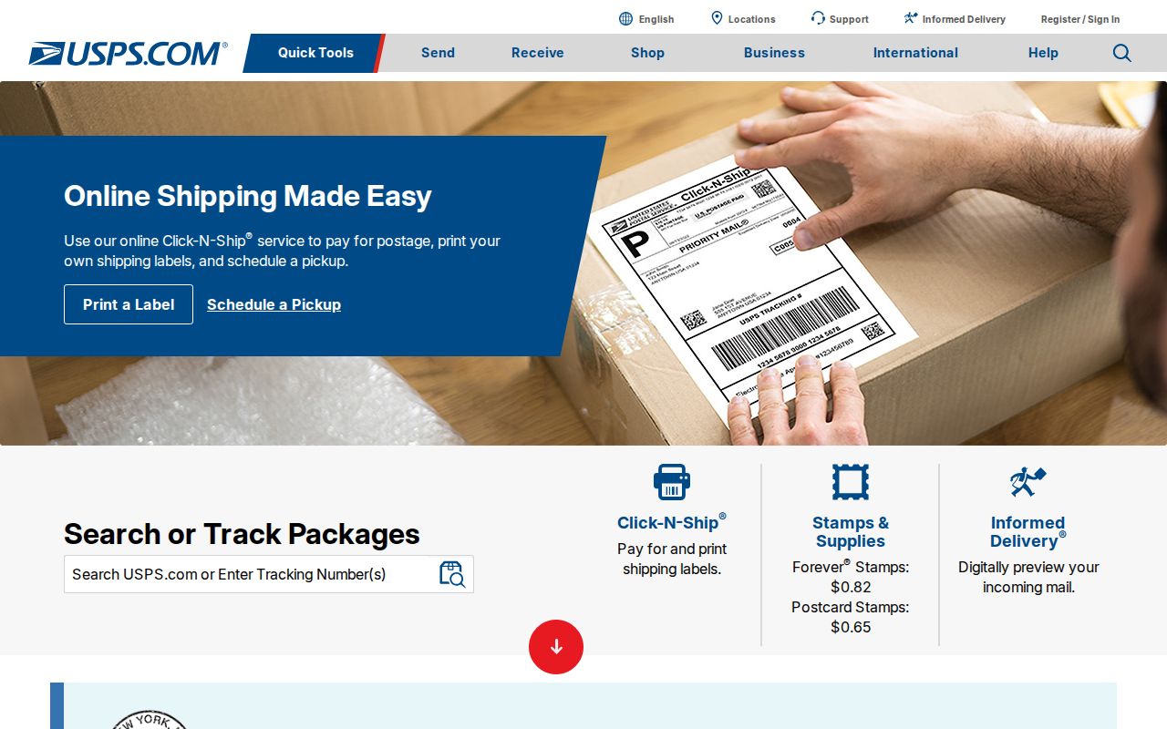
Enter the exact address rather than selecting a ZIP from a neighborhood name, because the postal result and the municipal boundary may differ.
Note: Record the lookup date because postal labels and delivery details can change even when a familiar street name does not.
Fort Worth ZIP Code Search Fields
Local tools use ZIP information in different ways. A postal search confirms a delivery label. The property search and map help find parcels. The voter tool assigns a known address to election geography rather than returning a household roll. Record what each result actually represents before using it as an address-search lead.
| Tool and available field | ZIP-based use | What the result means |
|---|---|---|
| USPS exact-address lookup | Enter the full delivery address | Authoritative postal ZIP and city/state label for that address. |
| TAD free-text search | Test an address or ZIP term | Property cards and result controls, but the field is not a guaranteed exact ZIP filter. |
Tarrant parcel GIS, ZIPCODE | Read the parcel-layer ZIP attribute | Parcel and map context, to be checked against an exact postal result. |
| Tarrant Voter Lookup address, ZIP, or location mode | Submit a known address or location | Precinct and district assignment, not all residents or voters in a ZIP. |
| Fort Worth OneAddress | Start with a street address | City address layers, permits, code, flood, neighborhood, and services rather than a ZIP directory. |
For parcel details, Tarrant Appraisal District shows property address, city, owner, value, and expanded property fields. For a broad ZIP question, the county Public Map Viewer supplies parcel context through its map layers.
Fort Worth ZIP Code Routes Are Not Borders
USPS states that ZIP Codes do not necessarily follow municipal boundaries. That rule matters across Fort Worth’s large and changing geography. A parcel may carry a Fort Worth mailing label while lying outside the legal city, or fall inside the city while a nearby postal label is more familiar. Use the city field in TAD, the parcel geometry, and city-boundary GIS when the legal municipality matters.
The USPS ZIP Code basics explanation states the boundary limitation directly.
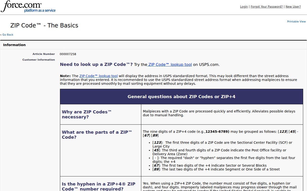
The postal rule explains why a ZIP is a useful search term but weak evidence for a city-limit conclusion.
Fort Worth’s postal geography also changes over time. A historic directory can use a mailing-city label that differs from the current parcel city, and a street can cross a postal boundary without leaving the city. Keep the directory year, the postal label, and the current exact-address result as separate dated facts. If a question is about annexation or legal jurisdiction, test the city-boundary map and record rather than assuming that the ZIP settles it.
Fort Worth ZIP Code Routing Labels
The USPS DMM L012 label list shows routing examples rather than a map of city boundaries. Examples in the inspected material group 76111 and 76164 under Fort Worth 76111; 76114, 76127, 76135, and 76136 under Fort Worth 76114; and 76118, 76120, 76124, and 76148 under Fort Worth 76118. It also groups 76119 and 76140, 76126 and 76131, 76133 and 76163, and 76137 and 76193 under their listed Fort Worth routing labels.
North Richland Hills is a key comparison: 76180 through 76182 appear under North Richland Hills 76180. Do not fold those ZIPs into Fort Worth merely because they lie in Tarrant County. The DMM pattern is routing evidence, while an exact-address lookup and a map resolve the practical question.
Other DMM examples show how a label can pool a set of delivery areas without defining a neighborhood. This is why a search result should identify whether it produced a postal label, a property card, a map polygon, a precinct assignment, or a city event. Those are useful results, but they are not interchangeable forms of geographic proof.
Find Records Within a Fort Worth ZIP Code
A ZIP narrows an area, but it does not create a citywide resident list. Use the postal result first, then choose a tool based on whether the goal is a parcel, map, city event, or election assignment. That keeps the work focused on verified geography rather than an unsupported count of people.
- Confirm the exact address in USPS and save the displayed postal city, ZIP, and lookup date.
- Test the address or ZIP in TAD’s free-text search, then inspect Property City, account, legal description, and the actual result cards.
- Use the parcel map’s
ZIPCODEfield and geometry to see the parcel context, not just a postal range. - For Fort Worth city information, enter the address in OneAddress or filter a permitted city download only when its schema supports ZIP filtering.
- Use voter address or location results only for precinct and district confirmation, subject to protected-address and use rules.
Once a ZIP narrows the area to a named road, use the Fort Worth street directory for the parcel, deed, permit, and historical address workflow.
Fort Worth ZIP Code Exceptions
Some Fort Worth-associated entries should be read as postal functions, not ordinary residential areas. The research groups 76161 through 76164 with post-office or routing context and identifies 76185, 76193, and 76199 as special, large-user, institutional, or routing entries. A PO or large-user ZIP can mask a street-address pattern, so the delivery type and city label need confirmation before a parcel search begins.
The USPS AIS ZIP product is the authoritative reference source described in the research for ZIP, post-office, and delivery-type data.
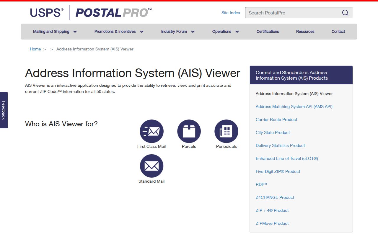
A delivery-type reference is especially important for special or large-user entries that should not be mapped as ordinary neighborhood coverage.
Fort Worth ZIP Code and City Limits
Fort Worth’s annexation and addressing materials separate Fire Department authority over street naming and numbering from USPS authority over city and ZIP labels. A street may also have old and new mailing labels during an 18-month USPS transition. For a legal city-limit question, use the current parcel or city-boundary GIS and annexation record, not the postal label alone. Historic directories may preserve a mailing city that no longer matches the current boundary.
- ZIP and ZIP+4
- A ZIP identifies the broad postal routing area; ZIP+4 adds a more specific delivery designation for an exact address.
- PO-box ZIP
- A postal or post-office routing entry that should not be assumed to describe a residential neighborhood.
- Unique ZIP
- A special or large-user delivery entry whose city label and delivery type require USPS confirmation.
- Carrier route
- A routing or label grouping. DMM examples can group several ZIPs under one Fort Worth or North Richland Hills label.
Keep the postal label, parcel city, map location, and record date together. They may agree, but the research does not assume that they always do.